Aerial Environment is a drone consultancy based in Fremantle, Western Australia. We are passionate about capturing information from above.
Aerial Environment is fully certified by the Australian Civil Aviation Safety Authority (CASA) including:
- Company level CASA RPA Operator’s Certificate (UOC)
- All pilots hold current CASA UAV controllers certificates
- Comprehensive aviation and public liability insurance
SERVICES
MAPPING
On-demand high resolution aerial photography orthomosaic images, GIS layers and digital surface models.
VIDEO
Stunning cinematic aerial video captured from above.
PHOTOGRAPHY
High resolution images from the sky.
PHOTO SPHERE & 3D
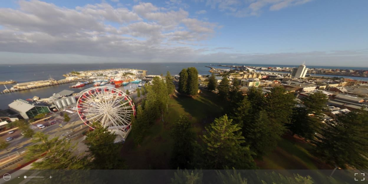
Take the controls and pan, zoom, and fly around like never before with photo spheres and 3D models.
MAPPING
We can provide you with high resolution, on-demand imagery tailored to your needs. With over 20 years of GIS experience, we know how to deliver what you need and fast!

VIDEO
Add a stunning dimension to your videos with our professionally piloted drones.
Eagle Tracking on ‘The Project’
The Project | Network TEN
Denmark Community Wind Farm
Eagle Man
Channel 9 News
PHOTOGRAPHY
With UAVs provide a truly unique perspective on our world.
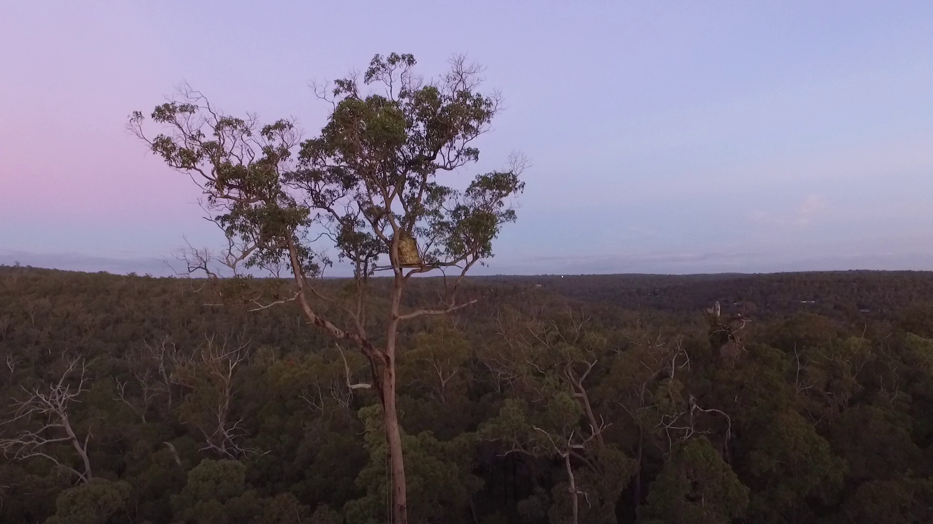
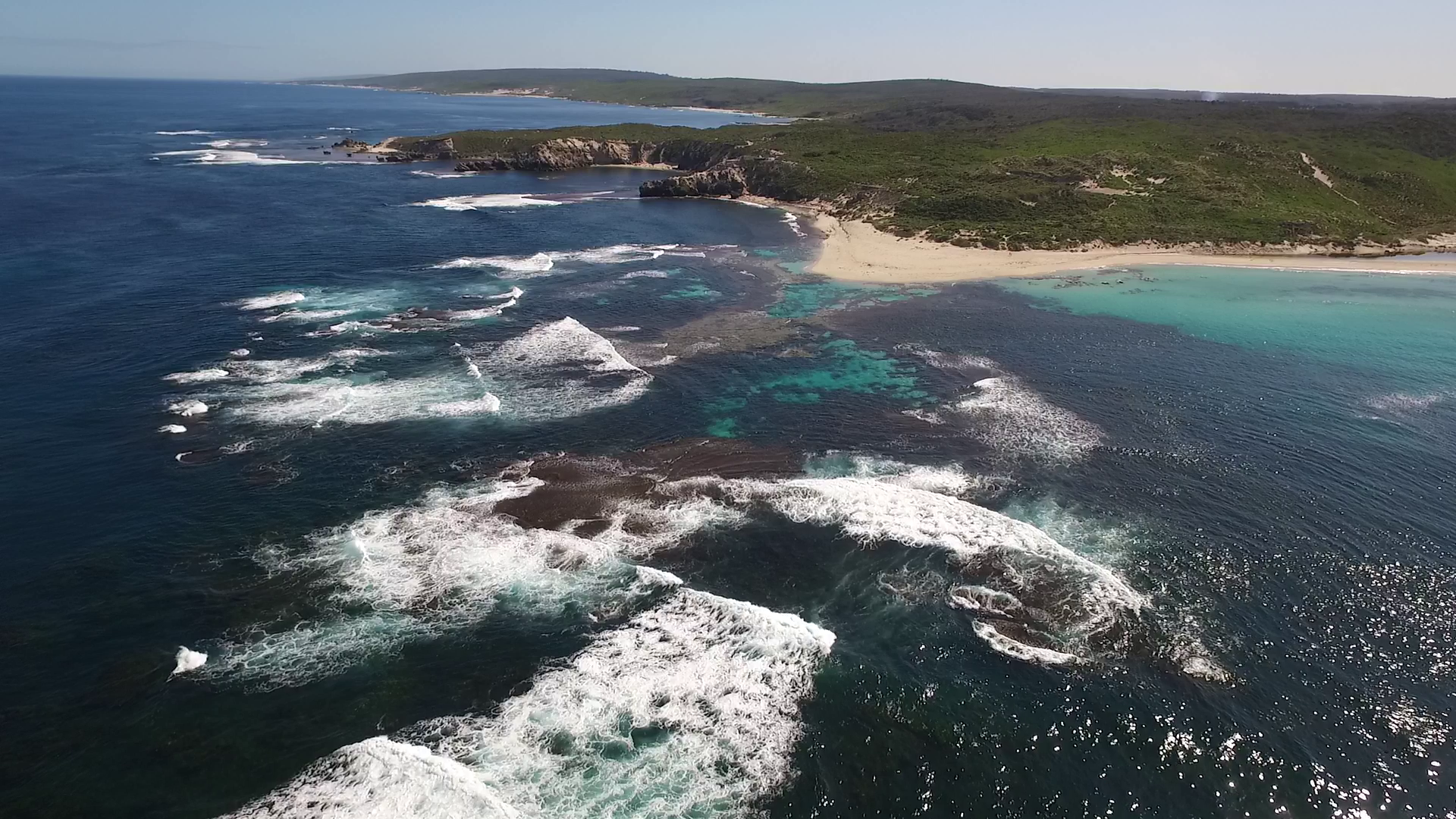
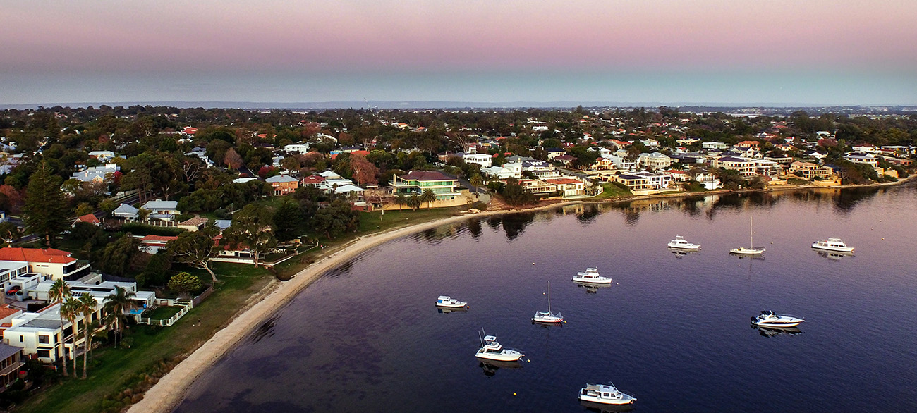
PHOTO SPHERES
We can capture information for you in a manner that has never been possible – until now. Why settle for a static photo or video when you can document, record, and share with fully immersive photo-spheres and 3D models.
3D MODELS
With a 3D model you can zoom around like you are flying the drone yourself. This way you can view from any perspective you choose. The models can also be imported into other modelling software for detailed volumetric analysis.
ABOUT
Aerial Environment is an aerial photography consultancy based in Fremantle, Western Australia. We are passionate about capturing and sharing the view from above.
Aerial Environment is certified by the Australian Civil Aviation Safety Authority (CASA) including:
- CASA RPA Operator’s Certificate (ReOC/UOC)
- CASA Remote pilot licence (RePL) / UAV controllers certificate for all remote pilots
- Comprehensive aviation insurance for public liability
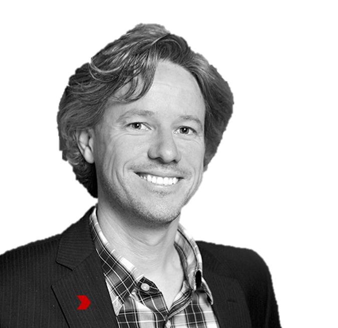
Andrew D Moore
Chief Remote Pilot | Scientist (MSc BAppSc BSc)
Andrew's dream has always been to see the world from above. For the past twenty years, he has been building and flying remote controlled aircraft (aka drones) making his dream not only a reality but into a business. Andrew combines his passion for aerial photography with a solid grounding in Ecology and GIS to be a 'scientist in the sky with his feet firmly on the ground'.
- 20 years’ experience in remote controlled aircraft system development and piloting
- 20 years’ experience in mapping using Geographic Information Systems (GIS)
- 20 years’ experience in Ecology
CONTACT
To discuss your project or to learn more please get in touch!
Phone: +61 424 320 057
Email: andrew@aerialenvironment.com
Cheers,
Andrew D Moore
Chief Remote Pilot | Scientist